Community Conversations is a long-running podcast series highlighting community success stories from a wide variety of online community management professionals.
Episode #97 of Community Conversations features Chris Catania, Head of Community at Esri.
Hosts Jim Storer and Shannon Abram chat with Chris about Leveraging data analytics for community success, community building and education for executives, and his work building a community ROI model and its impact on organizational value at Esri.
Chris shares ideas for building out your own cost benefit model, and explores the positive impact of measuring community ROI.
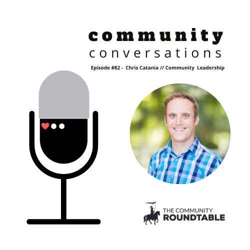
Listen to Chris Catania on Leveraging Data Analytics for Community Success
Podcast: Play in new window | Download
About Chris Catania
Chris is an award-winning enterprise community building expert. For more than 20 years, he has helped leaders build community-driven organizations that leverage the power of community and collaboration to deepen trust, increase loyalty, build better products, drive engagement, save millions and grow top-line revenue. As a speaker, consultant and strategist, he has helped audiences transform disengaged customers into loyal and passionate brand advocates. He has led clients to create a digital workplace that connects and builds strong employee relationships and networks. Today he speaks and leads workshops to empower leaders to leverage community as a strategic asset in the workplace and a competitive advantage in the marketplace.
About Esri
Esri is the global market leader in geographic information system (GIS) software, location intelligence, and mapping.
Since 1969, they have supported customers with geographic science and geospatial analytics, what they call The Science of Where.
They take a geographic approach to problem-solving, brought to life by modern GIS technology. They are committed to using science and technology to build a sustainable world.
About Esri Community
Esri Community is an award-winning global online community of Esri users where you can find solutions, share ideas, and collaborate to solve problems with GIS.
